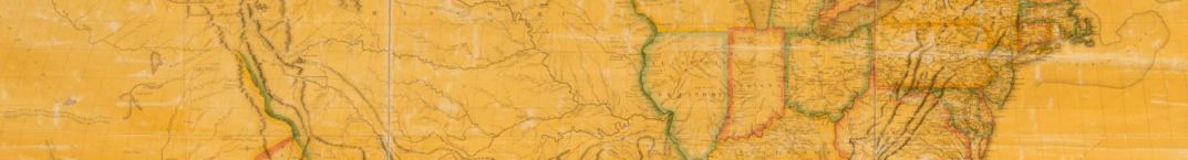
Mapping a Nation: Shaping the Early American Republic (open through December 2019) traces the creation and use of maps from the mid-18th century through 1816 to investigate the way maps, as both artworks and practical tools, had political and social meaning. It features historical maps, surveying instruments, books, manuscripts, and other objects to show how maps were used to create and extend the physical, political, and ideological boundaries of the new nation while creating and reinforcing structural inequalities in the Early Republic. The exhibition emphasizes the processes that produced maps—surveying, drawing, engraving, and printing—in addition to the information and ideas contained in the maps. It also sheds light on the ways that mapmakers functioned as political actors—and how different people used maps as political and ideological tools—to express multiple, sometimes competing visions of what the new United States would be.
A companion conference, The Power of Maps and Politics of Borders, will take place on October 10-12.The event will begin on Thursday, October 10, 2019 at 5:30pm with a reception and public keynote event by Dr. Billy G. Smith, Professor of History & Distinguished Professor of Letters & Science at Montana State University. The conference will continue with sessions beginning at 9:00am on Friday, October 11, and on Saturday, October 12.
The conference is free and open to the public.
RSVP here. The event is free and open to the public.
